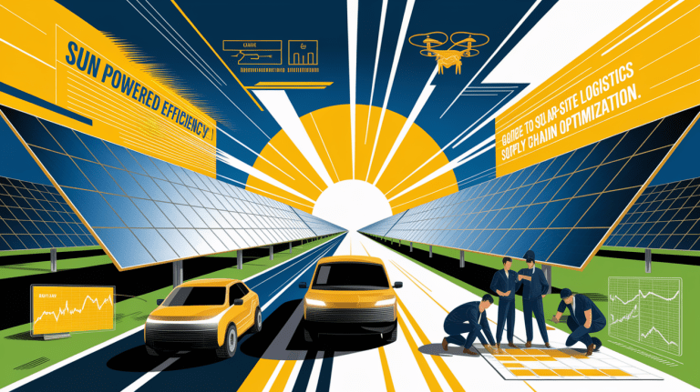
Harnessing Satellite Data for Accurate Solar Irradiance Site Assessments
Sunlight Unveiled: Understanding Satellite Irradiance Site Assessment
In the race to maximize solar energy output, understanding the precise amount of sunlight reaching a specific location is paramount. Satellite irradiance site assessment offers a powerful, cost-effective alternative to relying solely on sparse ground-based weather stations. By leveraging satellite imagery and advanced retrieval models, project developers, engineers, and investors can obtain long-term, spatially-rich solar radiation data anywhere in the world.
Using a combination of remote sensing, atmospheric analysis, and computational modeling, this approach estimates the three key irradiance components: Global Horizontal Irradiance (GHI), Direct Normal Irradiance (DNI), and Diffuse Horizontal Irradiance (DHI). These parameters underpin photovoltaic system design, energy yield prediction, and solar farm planning, ensuring that decisions are informed by robust and location-specific solar resource mapping.
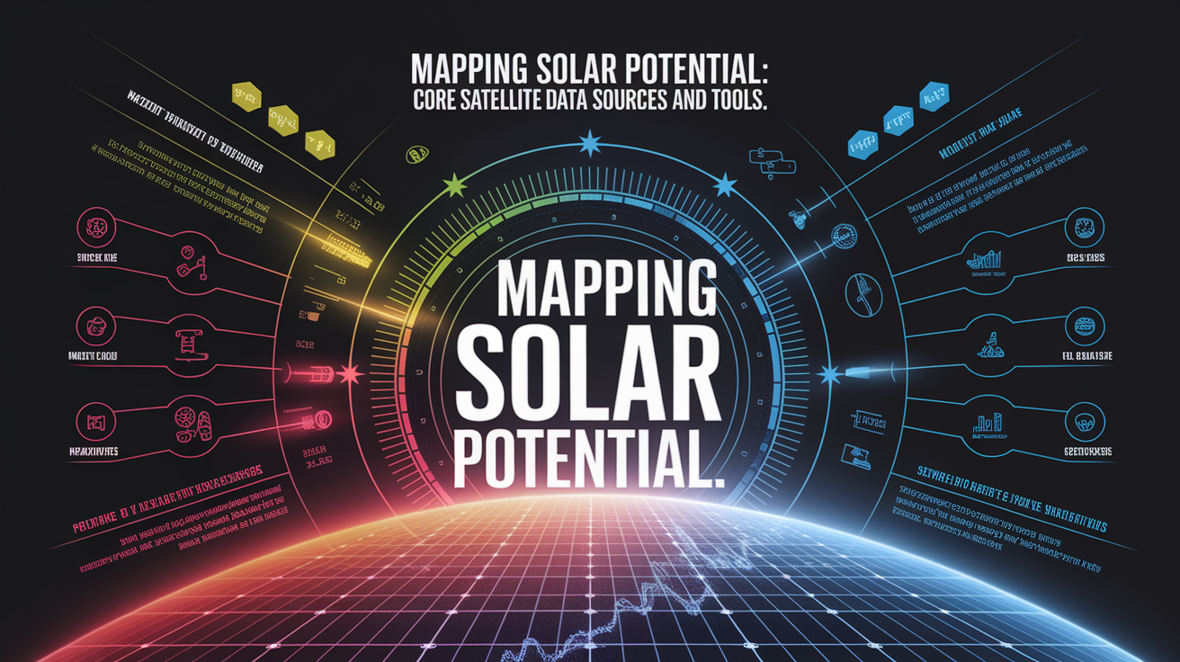
Mapping Solar Potential: Core Satellite Data Sources and Tools
High-quality satellite irradiance data hinges on reliable upstream inputs and well-validated retrieval algorithms. Leading sources include:
- Meteosat geostationary satellites for high-temporal-resolution imagery.
- ECMWF and MERRA-2 reanalysis datasets providing critical meteorological parameters.
- Specialized platforms like Solcast’s irradiance methodology and the SolarAnywhere data suite for application-ready data sets.
- Global solar atlases and public-domain tools such as PVGIS and NREL’s datasets for initial scoping work.
These resources integrate cloud cover analysis, aerosol optical depth estimation, and surface reflectance properties to produce high-resolution solar radiation data suitable for feasibility studies and renewable energy assessments.
Assessing Your Site from Space: A Step-by-Step Workflow
- Define the area of interest – Use geographic coordinates or GIS layers to target specific plots or regions.
- Source satellite irradiance datasets – Select from validated providers offering historical and real-time GHI/DNI/DHI datasets at required spatial and temporal resolution.
- Analyze multi-year records – Determine interannual variability, seasonal patterns, and probability of exceedance for bankable solar assessments.
- Integrate meteorological data – Complement irradiance data with temperature, wind, and humidity records for holistic photovoltaic performance modeling.
- Perform ground-tuning (where possible) – Apply site adaptation techniques to align satellite data with at least 12 months of local measurements.
- Model expected energy output – Feed calibrated irradiance data into PV simulation tools to forecast energy production and financial returns.
Ensuring Reliability: Accuracy and Validation Techniques
While satellite-derived data covers areas unreachable by ground sensors, accuracy remains a priority. The most effective strategies to ensure reliability include:

- Cross-validation against high-quality ground-measured datasets from weather stations and AERONET networks.
- Bias correction using multi-year ground truth data to adjust for local atmospheric and terrain effects.
- Combining physical and machine learning models – Methods described in recent research enhance cloud and aerosol characterization, improving surface irradiance estimates.
- Applying uncertainty quantification tools to verify the statistical robustness of long-term averages and performance metrics.
Modern retrieval systems can achieve deviations as low as 1-2% from well-calibrated reference measurements, making satellite irradiance data viable for bankable solar resource assessments.
From Pixels to Panels: Interpreting and Applying Irradiance Data
Once processed and validated, irradiance data moves from raw remote sensing outputs to actionable design parameters for photovoltaic systems.
- Site Suitability Analysis: Identify locations with the highest solar energy potential to prioritize project development.
- System Design Optimization: Configure panel tilt, orientation, and tracking systems to match site-specific GHI and DNI patterns.
- Energy Yield Prediction: Develop precise output forecasts integrating historical weather variability for financing and PPA agreements.
- Operations and Maintenance: Use irradiance forecasts for predictive performance monitoring and identifying anomalies.
- Off-Grid Applications: Assess remote locations where deploying physical measurement equipment would be impractical or costly.
By coupling satellite-measured solar radiation data with localized adjustments, developers translate datasets into designs capable of maximizing solar panel efficiency and lifetime returns.
Harnessing Sunlight: Concluding Next Steps
Satellite irradiance site assessment is redefining how the solar industry approaches feasibility studies and project development. With global coverage, high temporal granularity, and growing accuracy through integrated ground-tuning, this technology empowers stakeholders to make informed, data-driven decisions with confidence. Moving forward, project teams should:
- Incorporate multi-year satellite datasets into early-stage site screening to reduce survey costs and timelines.
- Pursue ground measurement campaigns to enhance precision where investment-grade certainty is required.
- Adopt hybrid models that combine physical simulations with machine learning for improved forecasts.
The future of solar resource mapping lies in our ability to read the sky from space—transforming pixels into panels and potential into powered reality.